The Norwegian fjords
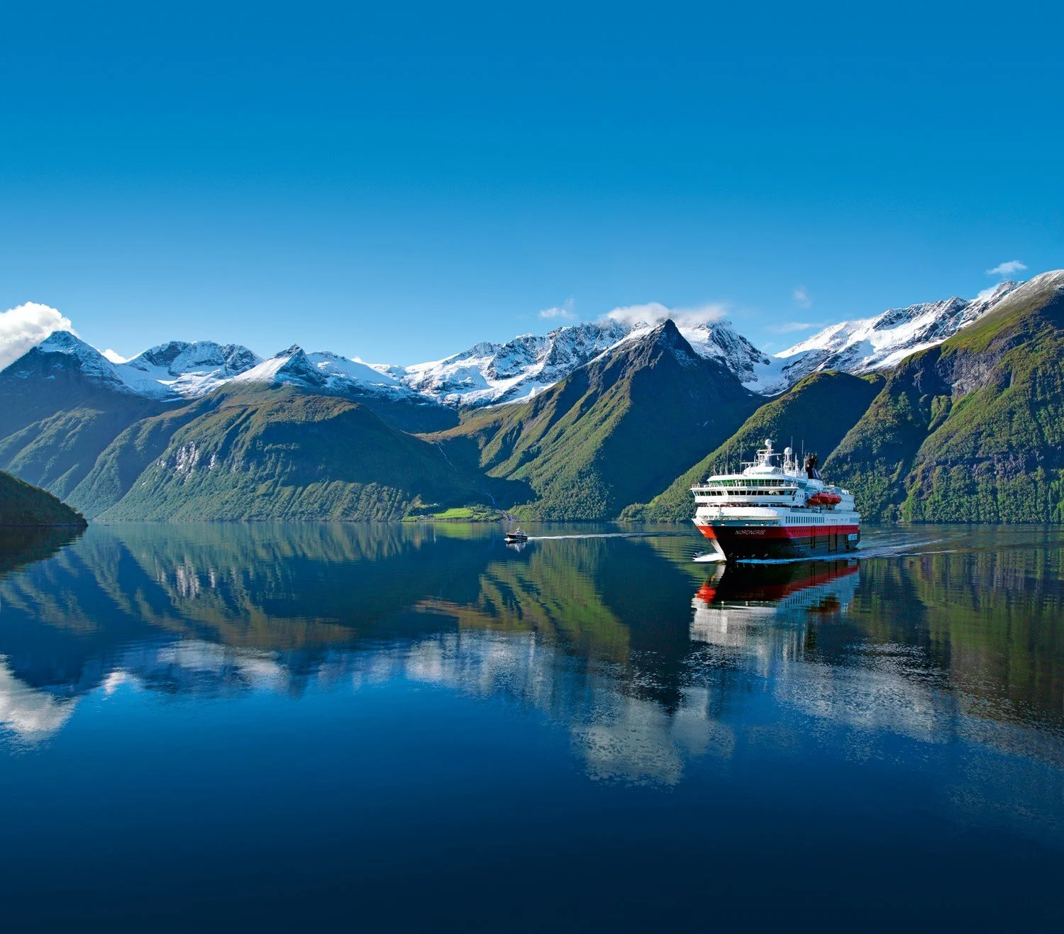
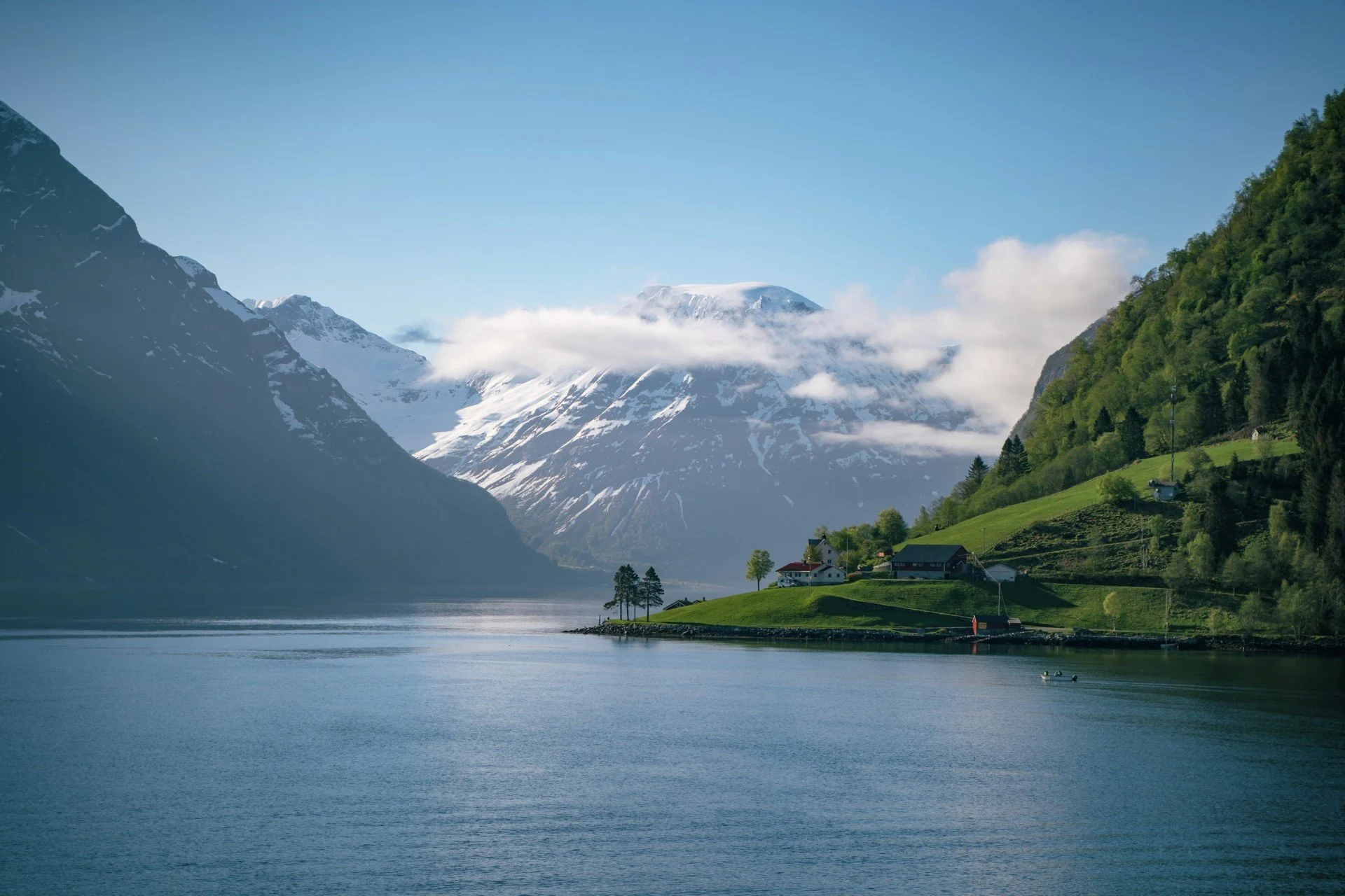
The Norwegian fjords make an impression on everyone who visits them. Cutting in from the sea, through steep mountains, they have passages so narrow that, when the ship sails in, you can sometimes touch the mountainside with your fingertips.
To many foreigners, Norway is synonymous with fjords. The country has the highest concentration of them in the world, ranging from the Oslo fjord in the southeast, all the way up to East Finnmark near the northeastern Russian border.
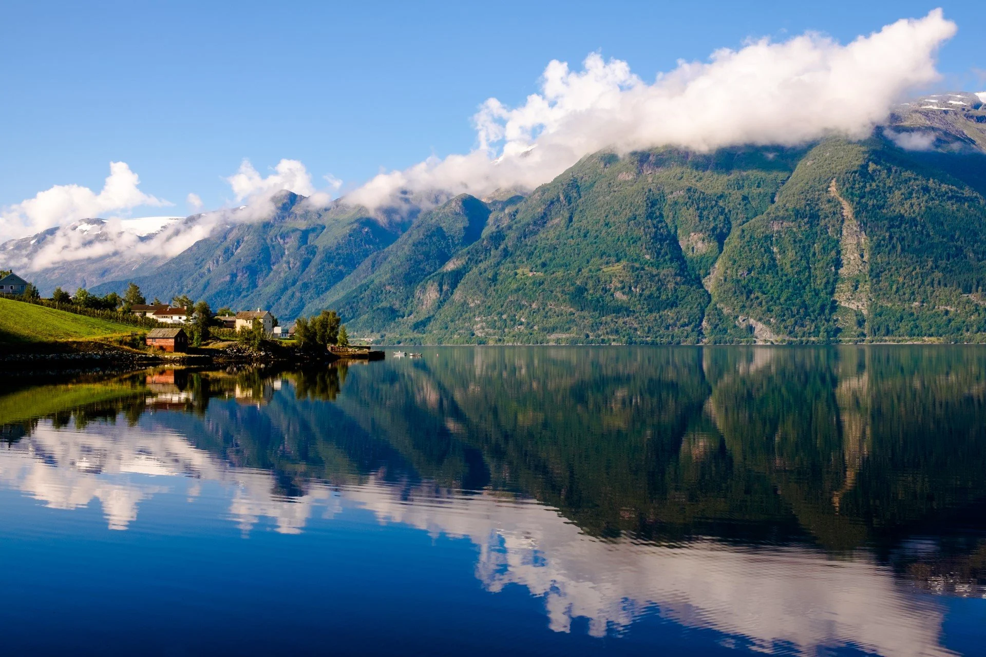
Norway is also fortunate enough to have a warm sea current running along its coastline. As a result, the fjords are virtually ice free – and ready to be explored.
What is a fjord?
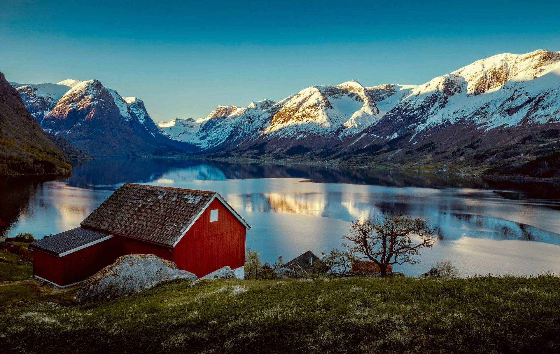
A fjord is a deep, narrow and elongated ocean inlet, cut into the landscape, with steep mountains on three sides. The fourth side, called the mouth of the fjord, is open towards the sea.
The fjords were formed when the glaciers of the Ice Age retreated. Seawater rushed in to replace the ice, flooding the U-shaped valleys and creating the memorable geography we see today.
The most famous fjords in Norway
The most famous fjords in Norway are found in the western coastal and northern regions. In the west, for example, Geirangerfjord, Hjørundfjord and Nordfjord are recognised on UNESCO's World Heritage List, with their alpine mountains, waterfalls and lush villages full of fruit trees.
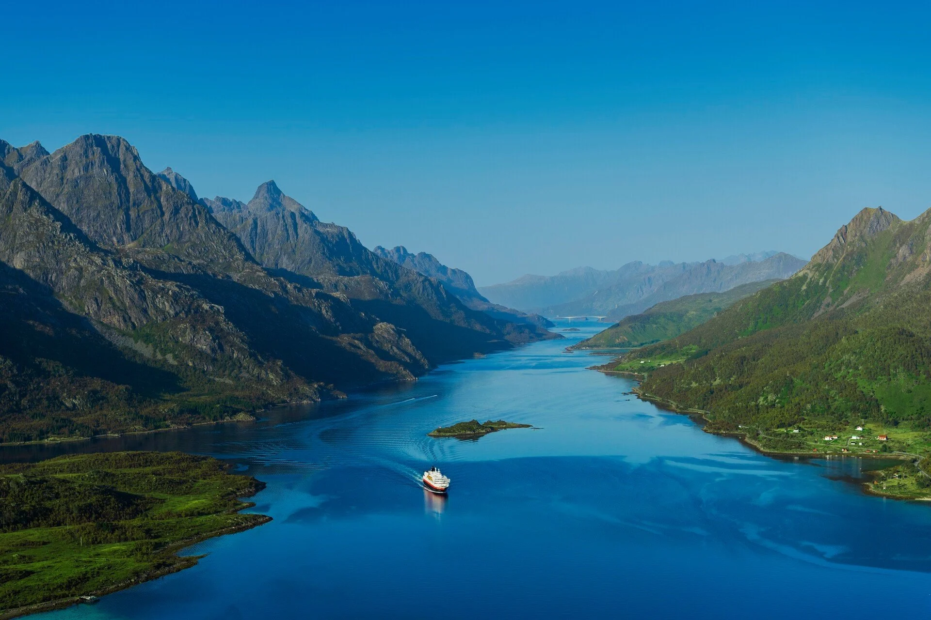
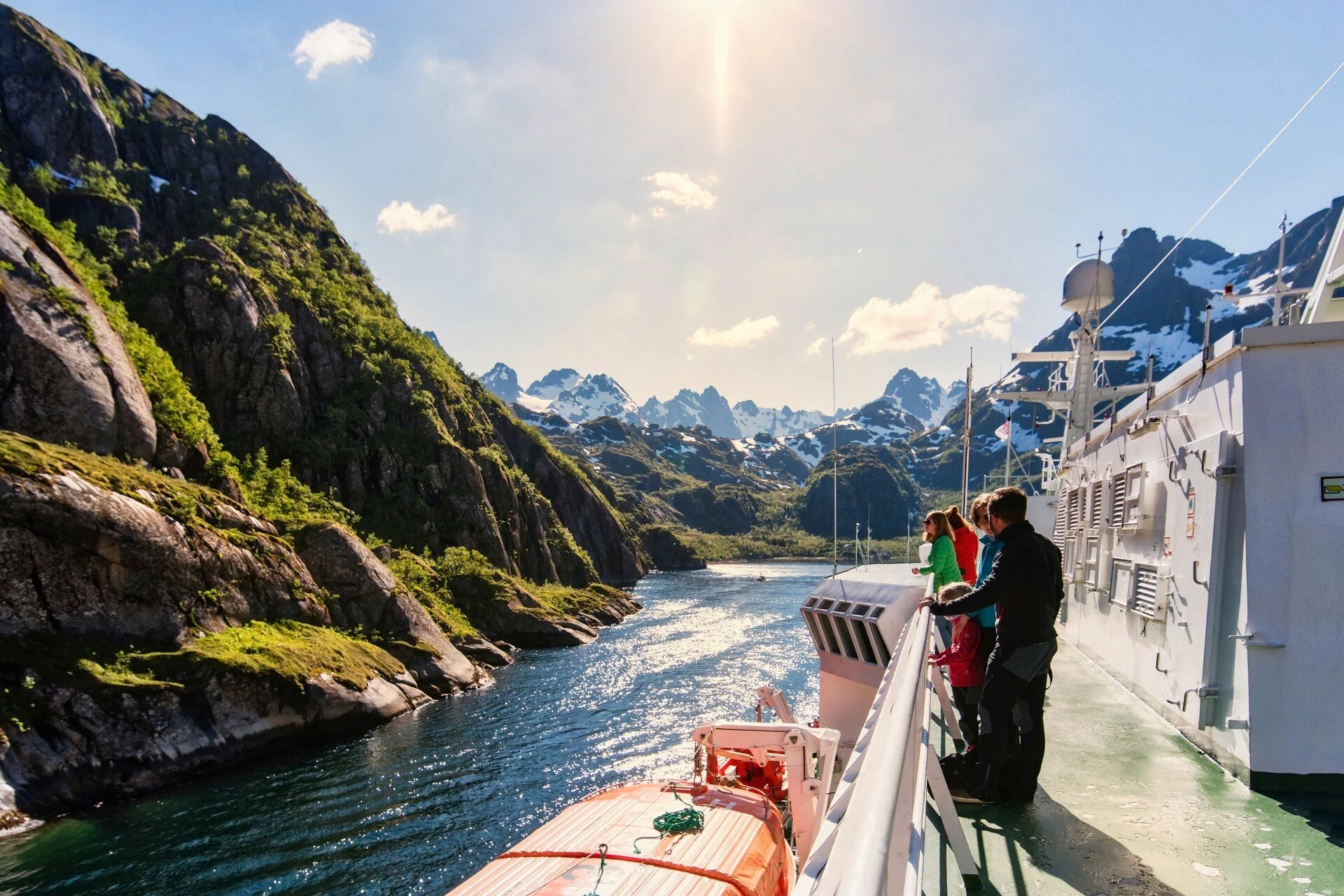
On your way to Trondheim, you can experience the Trondheimsfjord. Further north, the Trollfjord, only 100 metres wide at its narrowest point, is among the most fascinating fjords in the country.
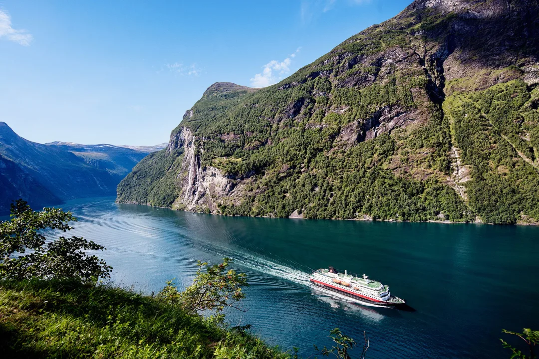
The Geirangerfjord
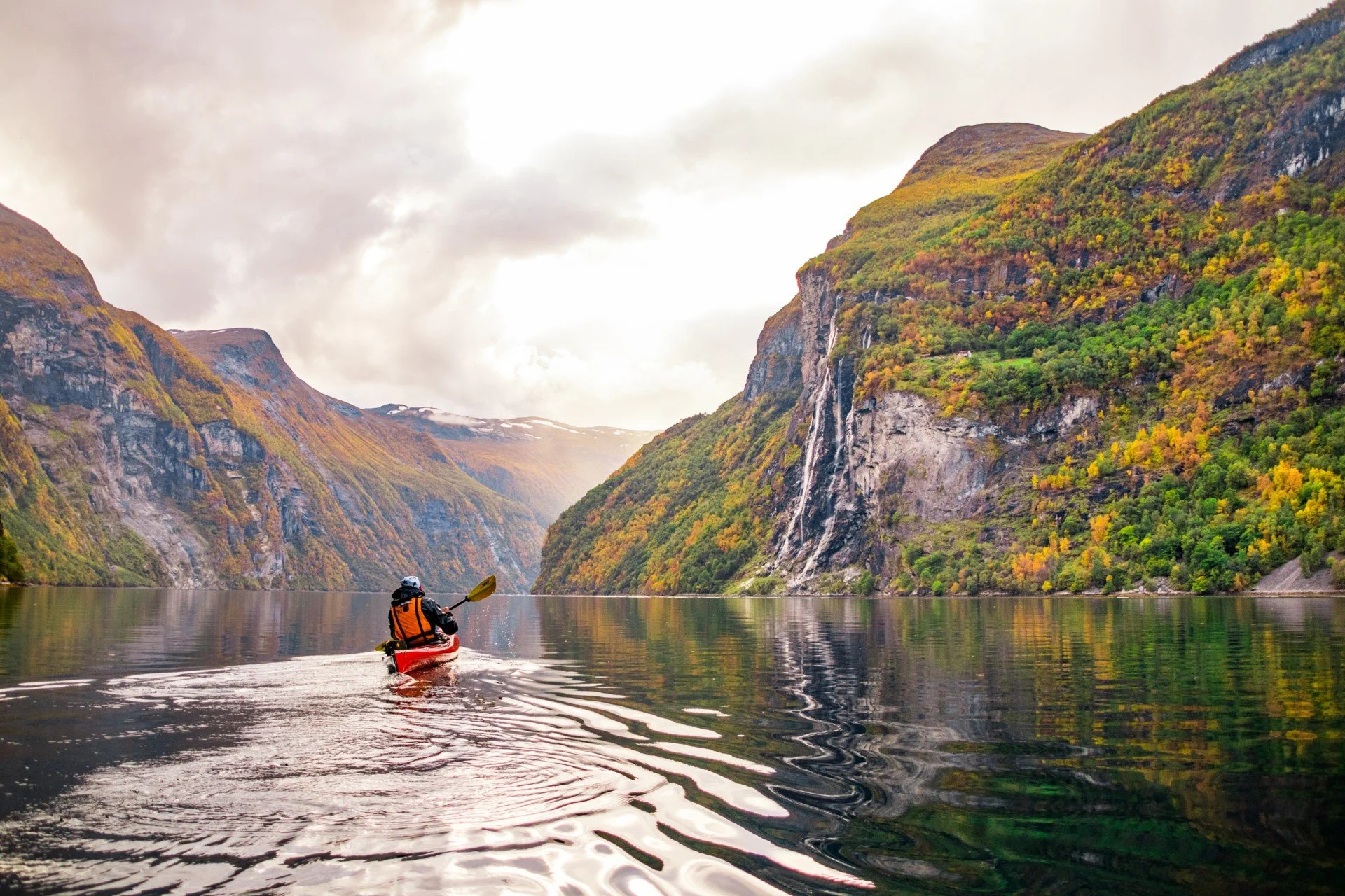
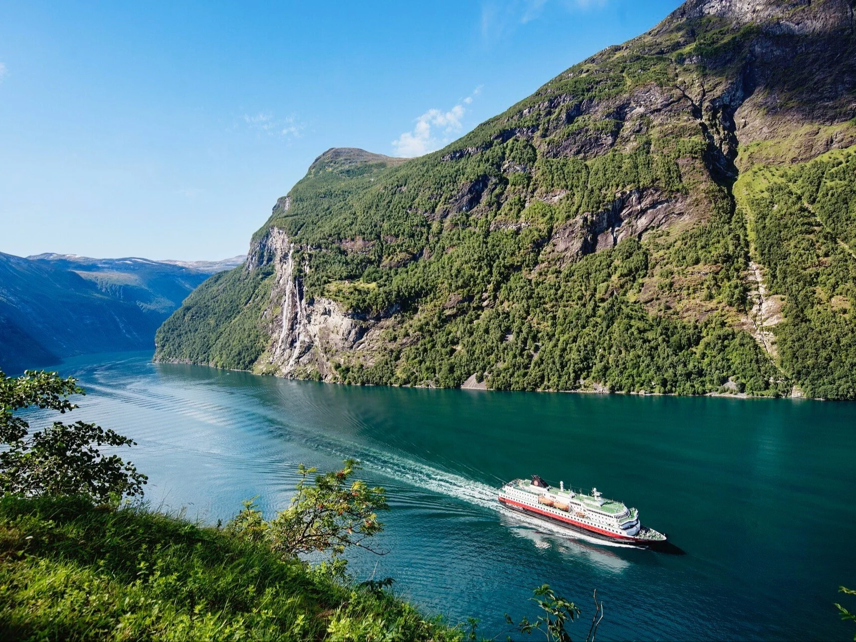
The stuff of which fairytales are made, Geirangerfjord is the pick of Norway's fjords. A UNESCO World Heritage Site, it is famous for its deep-blue waters and mountainous countryside. It is also home to The Seven Sisters waterfall - which features seven streams of tumbling waters from 800ft!
Best time to visit: June - August
The Hjørundfjord
Seclusion and an unspoiled natural landscape are what give this 35-kilometre-long fjord its special character as it cuts into the massive Sunnmøre Alps.
Best time to visit: September - October
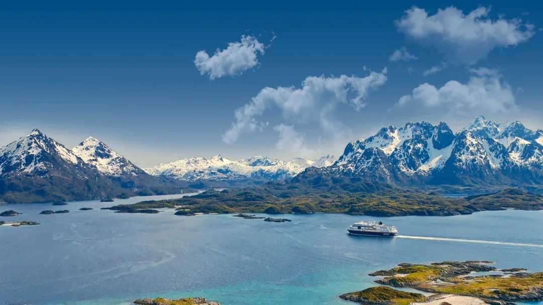
Our Norwegian fjords cruises
- Multiple offers
Roundtrip Voyage from Bergen | Explore Norway’s Coastline
Route
Bergen - Kirkenes - Bergen (Roundtrip)
Departure Dates
Regular departures - 12 days
Price from
€2,040
Ships
Multiple
- Save up to 50% off selected sailingsSolo Traveller Offer
7-Day Norwegian Voyage: Northbound | Bergen to Kirkenes
Route
Bergen - Kirkenes (Northbound)
Departure Dates
Regular departures - 7 days
Price from
€1,396
Ships
Multiple
The North Cape Express: Full Voyage from Oslo to Bergen | 2024-2025
Route
Oslo – Honningsvåg – Bergen (Roundtrip)
Departure Dates
December - May - 14 days
Price from
€2,879
Ship
MSTrollfjord
The Trollfjord
A visit to this narrow fjord in Lofoten and Vesterålen is a truly memorable experience. Bordered by steep-sided mountains, it is home to the white-tailed sea eagle – one of the main attractions in the area.
Best time to visit: May - October
The Trondheimsfjord
The first capital of Norway, Trondheim is a town where kings and queens have been crowned. But as well as being rich in culture and history, it’s also home to a spectacular fjord.
A journey through this Norwegian fjord will see you encounter all walks of wildlife and gorgeous green swathes of countryside. Go for the stunning views, stay to learn more about this historic town.

The Nordfjord
Spanning some 106 kilometres, this is one of the country's longest fjords and also one of the most diverse. Highlights include the westernmost point in Norway, a sensational skylift, and the largest glacier in Europe.
The Hardangerfjord
Hardangerfjord is a hiker’s paradise. At 179km, it is one of the longest fjords in the world, making it an ideal spot for visitors looking to explore by foot.
Cruising through this fjord has plenty of highlights: the charming village of Odda, where you can take a moment to relax or get involved in other outdoor activities, and the famous rock formation known as Trolltunga (the ‘troll tongue’), which has to be seen to be believed and is accessible by hike from Odda.
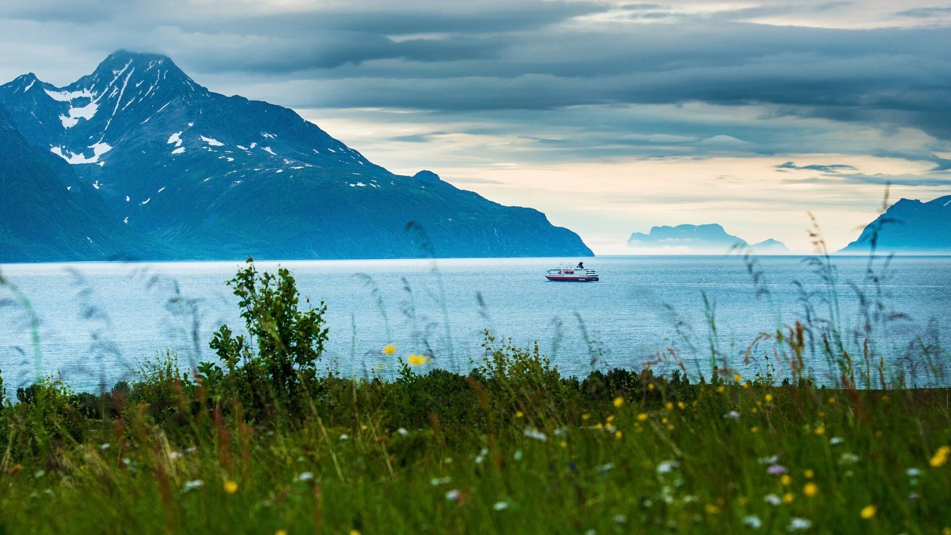
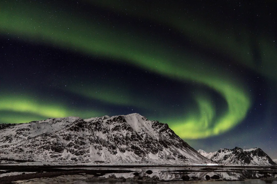
The Lyngenfjord
With clear blue skies and a wide-open valley, the Lyngenfjord is Norway at its most beautiful.
But there’s far more to Lyngenfjord than meets the eye - the area has plenty of natural activities to get involved in, from hiking to reindeer sledging. And best of all - it’s a great spot to catch the Northern Lights!